Seaside resorts in the Province of Ragusa
Kamarina
21 Km west di Marina di Ragusa
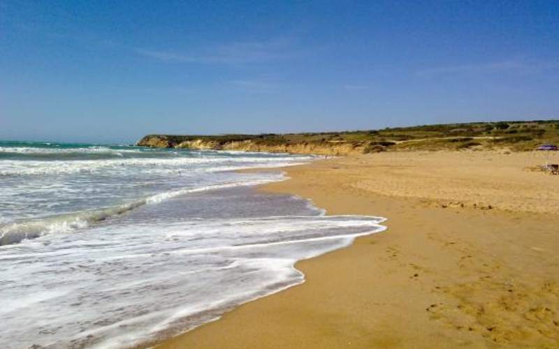
Near the seaside resort of Scoglitti, above a clayey outcrop called Punta Cammarana, lies Kamarina, an ancient colony founded by the Greeks at the beginning of the 6th century B.C.. The name, according to Strabone, means ‘inhabited after much toil’. The main feature beach consists of a wide stretch of golden sand and is interspersed with stretches of rocks where it is possible to lie down.
Today, on this promontory, in addition to the remains of the ancient city and there are plants adapted to the salty environment, such as the sea lily and the dwarf palm. Continuing southwards, from Kamarina towards Randello, there is a series of promontories interspersed with beautiful semi-moon-like beaches.
Randello beach
14 Km west di Marina di Ragusa
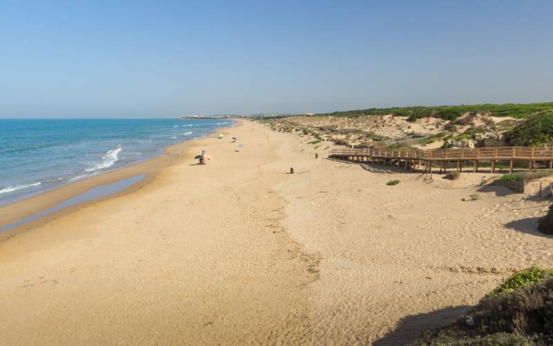
Between Kamarina and Punta Braccetto lies Randello beach, perfect for those who love unspoilt beaches, seeking calm. It has fine, white sand and crystal-clear sea, and is considered one of the most beautiful beaches in Italy; in fact, it was included in the Touring Club’s 2014 Blue Guide.
Behind there is an area managed by the Forestry Department where the typical Mediterranean flora is preserved: reeds, mastic trees, holm oaks, myrtles, aromatic plants, dwarf palms, carobs and eucalyptus trees. There is a large farmhouse in the area preceded by two gigantic ficus trees and a large hunting ground, called “cunigghiera” by the locals.
GPS coordinates:
36.842113, 14.453436
36.842192, 14.453455
Punta Braccetto
11 Km west di Marina di Ragusa
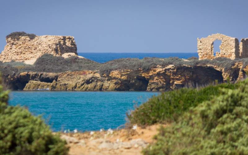
Punta Braccetto beach is located near the Cava Randello reserve, and consists of fine white sand, clean sea and sandy seabed. It is protected by a limestone strip, where there are the remains of an ancient square-based watchtower “Torre Vigliena” bordered by a trench, erected during the last war to defend the coast from enemy landings.
The beach is free and the area is served by numerous camping areas.
GPS coordinates:
36.842192, 14.45345
Torre di Mezzo
8 Km west di Marina di Ragusa
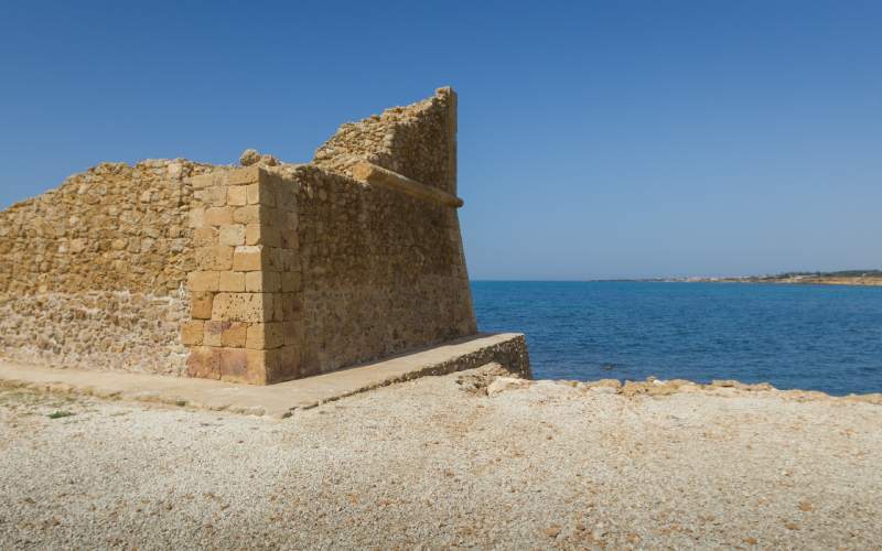
Torre di Mezzo takes its name from a coastal defence tower built in the early 17th century by the Celestri family. The tower, built entirely of limestone ashlars with a strong scarp, is now partly ruined, but underwent partial restoration in 1994.
GPS coordinates:
36.778129, 14.57833
Punta Secca
6 Km west di Marina di Ragusa
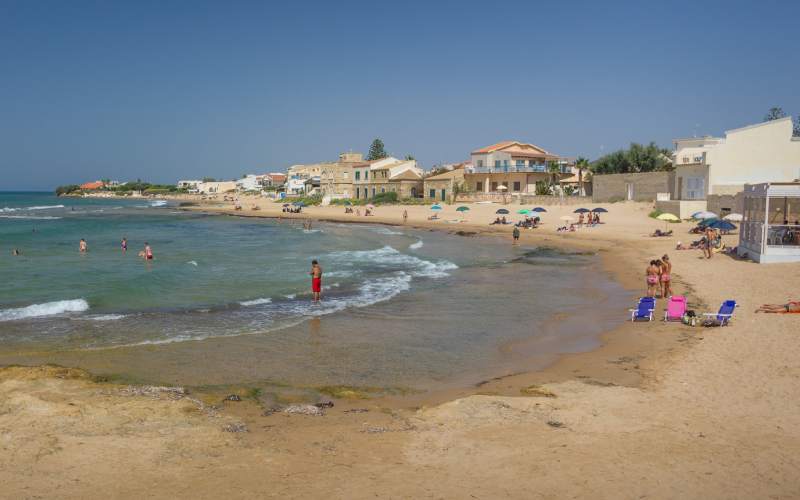
A popular seaside resort, Punta Secca takes its name from the ancient ‘Marsa Sicca’. So called because of the presence of a small shoal, formed by reefs, that develops in front of the eastern beach. The Punta Secca lighthouse is one of the most important public works of the Bourbon government in Ragusa. It was designed in 1857 by Engineer Nicolò Diliberto D’Anna and is 35 m high.
There is Torre Scalambri, which in past centuries, with that of Torre di Mezzo and Punta Braccetto ones, served to defend the coast from pirate attacks. Much of Punta Secca’s notoriety is due to the famous television drama Commissario Montalbano. After seeing the sites of the famous series, you can enjoy the beaches going to small bathing establishments where you can rent sunbeds and umbrellas.
Riserva del fiume Irminio
3 Km east di Marina di Ragusa
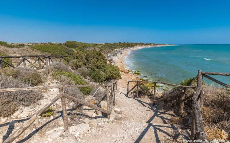
Between Ragusa and Scicli lies the Riserva del Fiume Irminio, which in ancient times, was the fastest route to connect the inland territories with the coast and to facilitate trade. It is managed by the Regional Province of Ragusa in order to safeguard the ecosystem of the coastal area.
In this protected area you can find small cliffs, sandy dunes and the characteristic Macchia Mediterranea vegetation. The calm waters host different species of fish, and even among the animals there are some exotic species, such as the nutria, wild boar and the red-cheeked tortoise.
To enjoy this route, you can park at the entrance to the reserve, where there is a designated clearing. Remember that bathing is forbidden.
GPS coordinates:
36.778129, 14.57833
Donnalucata
10 Km east di Marina di Ragusa
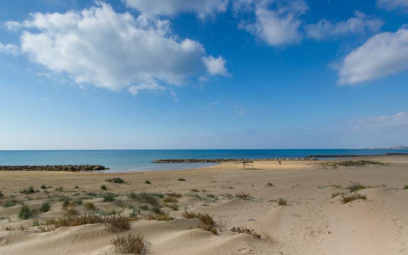
Donnalucata‘s name derived from the Arabic Ain-lu Kat, meaning “fountain of the hours“. It seems that a freshwater spring gushed forth only during the hours of prayer. The fishing suburb is characterised by two wide beaches: Micenci beach and Ponente beach. Upstream there is the Sanctuary of the Madonna delle Milizie, commemorating the episode of the Normans’ battle against the Turks.
The current urban appearance took shape in the 19th century, when there was still a clear distinction between the fishermen’s hovels and the nobles’ villas. Among these is Palazzo Mormino Penna, a building with a characteristic red façade in neo-Gothic style whose decorations recall the symbols of Sicily. At the end of the same century, in 1883, the church of Santa Caterina da Siena was also completed.
Cava d'Aliga
18 Km east di Marina di Ragusa
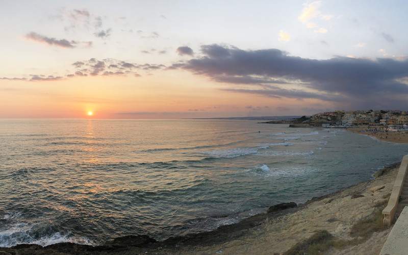
Cava d’Aliga is characterised by a wide beach interspersed with two imposing cliffs that create a natural gulf. Moving eastwards, a number of natural caves open up in the cliff coast, and the largest, known as the “Grotta dei contrabbandieri” (Smugglers’ Cave), also allows visitors to enter.
GPS coordinates:
36.778129, 14.57833
Sampieri
23 Km east di Marina di Ragusa
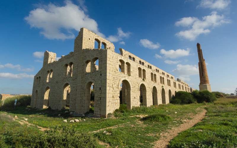
Sampieri is a small seaside hamlet of Scicli. It consists of an old fishing village where everything is still preserved, with low houses, cobbled streets, picturesque views and an airy waterfront with a wide view of the Pisciotto.
Here you can notice the large remains of the old brick factory built at the beginning of the 20th century, destroyed by a fire. The suggestive remains are the old furnace, the tall chimney and the flight of arches. It is a magnificent example of Sicilian industrial archaeology (several times featured in the television drama “Commissario Montalbano”).
